Background
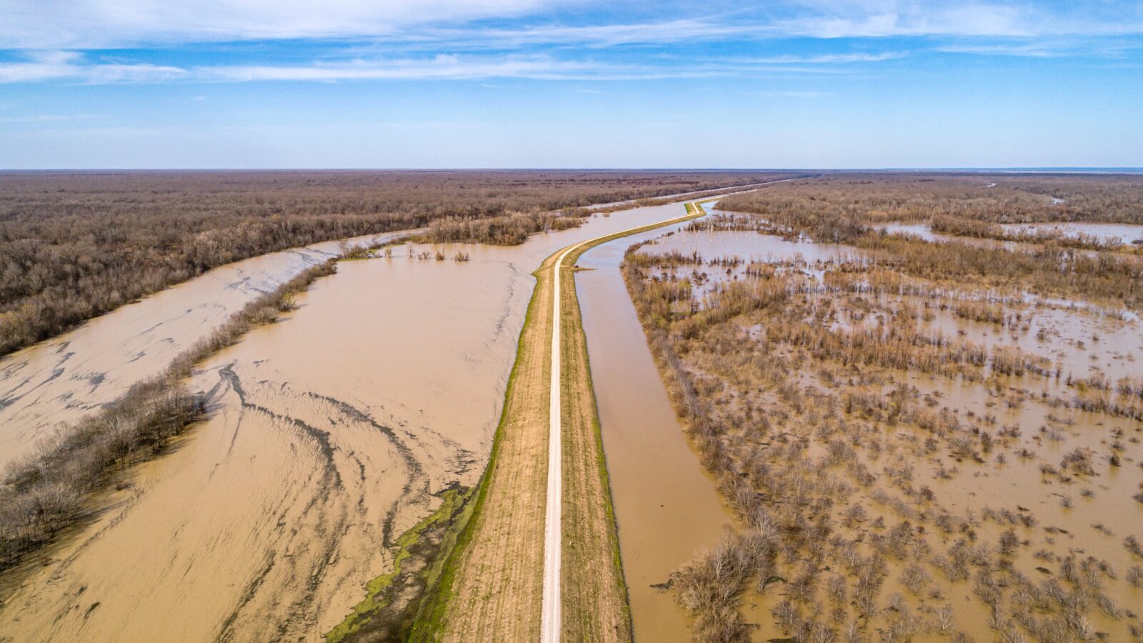
The Inland Freight Route (IFR) is an alternative north-south route to the Bruce Highway. It begins in Mungindi (NSW border) and ends at Charters Towers in North Queensland. This corridor has been vulnerable to flooding, particularly during extreme weather events.
A range of strategic planning initiatives were undertaken to inform the 10-year Inland Freight Route Investment Strategy. The purpose of this strategy was to identify short-, medium- and long-term priorities for the corridor.
When the IFR was developed, different standards were adopted depending on traffic demands, flood severity and extent, and community expectations. The Inland Freight Route Link Flood Study was developed to inform the Department of Transport and Main Roads on the flood immunity and hydrology characteristics of the route.
Project Detail
NineSquared undertook the economic analysis components of the Inland Freight Route Link Flood Study. This included establishing the method, using survey data to inform assumptions, engaging with data holders and various parts of TMR to understand the appropriate approaches, conveying the method to the modelling team and interpreting the results of the analysis.
Key to this assessment was understanding road user behaviour in the event of a flood-related road closure. Road users are faced with a choice between diverting around the closure, waiting at the closure site or cancelling their trip. Understanding this split is challenging due to data availability and the unique nature of each trip.
To inform this assumption, a range of data sources were reviewed. This includes CompassIoT, NetBI, the Queensland Freight Model and Dspark, amongst others. Supporting the data analysis was a survey of regional offices to ground-truth the data.
The economic analysis was incorporated into a web-based tool to allow access to various parts of TMR. This tool allowed for scenarios to be run, with economic analysis results provided in real time.
Outcomes
The outputs of this assessment provided TMR with an understanding of the highest priority sections of the Inland Freight Route.
The key outputs to this assessment included:
- a user-friendly web-based decision support tool (DST) integrating hydraulic modelling and economic assessment to support planning for a reliable alternative route to the Bruce Highway during the wet season and benefit supply chains and local communities
- Prioritised list of flood vision standards, links, sublinks and individual crossings.
This project was a Highly Commended Flood Risk Management Project of the Year by Floodplain Management Australia.


